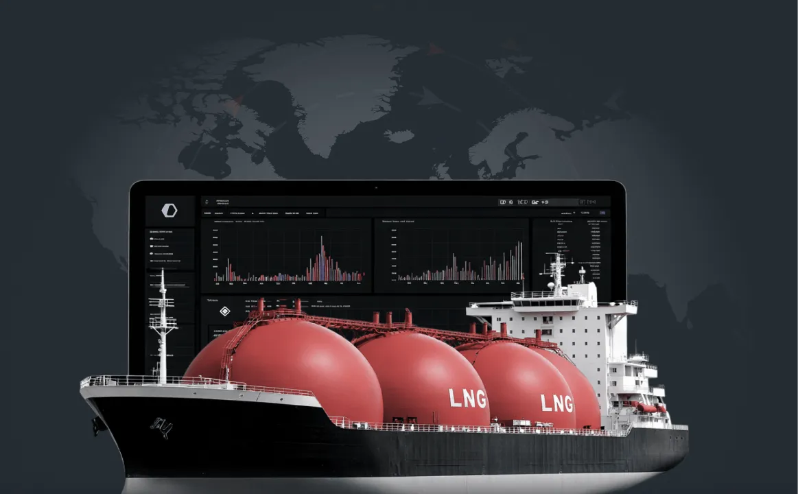
Detect, monitor, and assess vessel activity and trade networks in real time to secure borders, enforce maritime law, and counter illicit activity.


.webp)


350k+
40+
15y+
1.2bn+

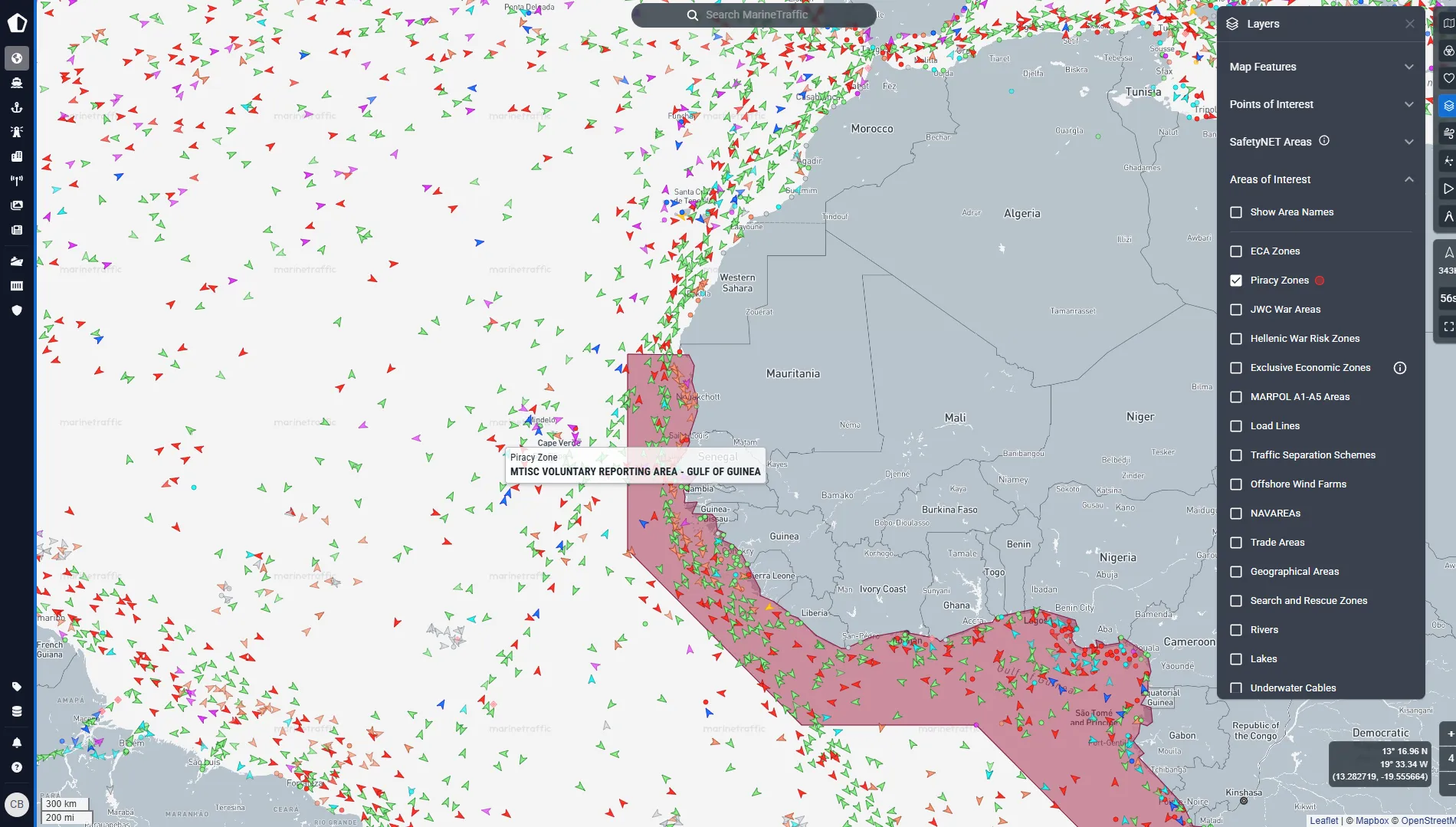
Monitor territorial waters
Real-time tracking intelligence makes it easy to monitor vessel movements within your territorial water and identify unauthorised or suspicious activities such as illegal fishing, smuggling, or unregistered vessels.
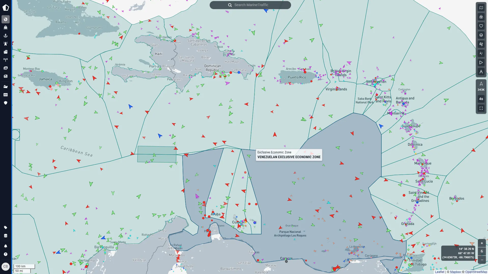
Protect your borders
Monitor adherence to regulations such as maritime safety standards, environmental laws, and trade sanctions. This includes tracking vessels in ECAs, EEZs, and ensuring compliance with international trade routes. Predict where and when vessels will be in order to conduct arrests and seizures.
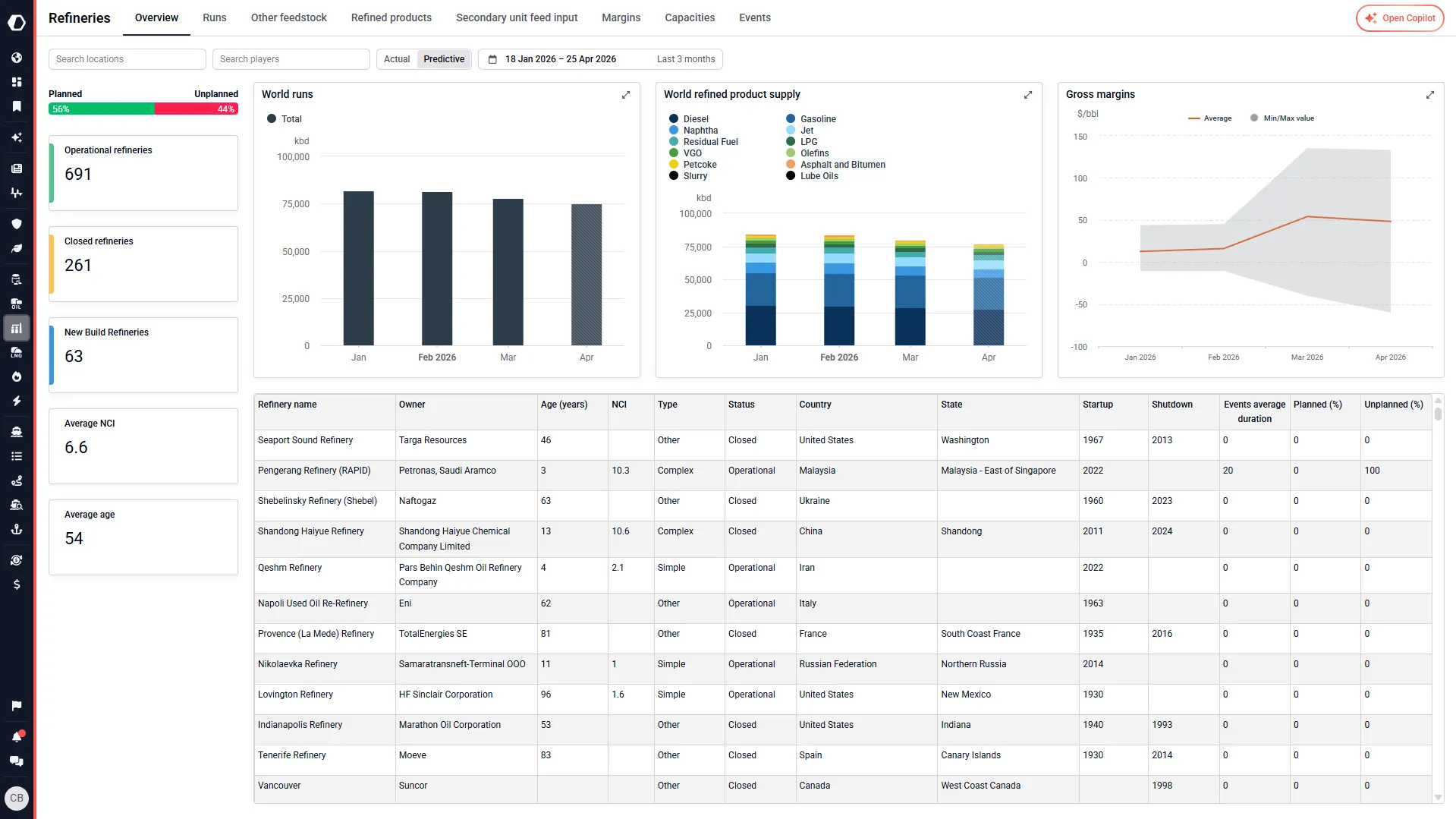
Understand contested logistics
Optimise your resource and operational planning using our real time resource capacity data, helping you understand resource capacity across different nations.
Trade regulation
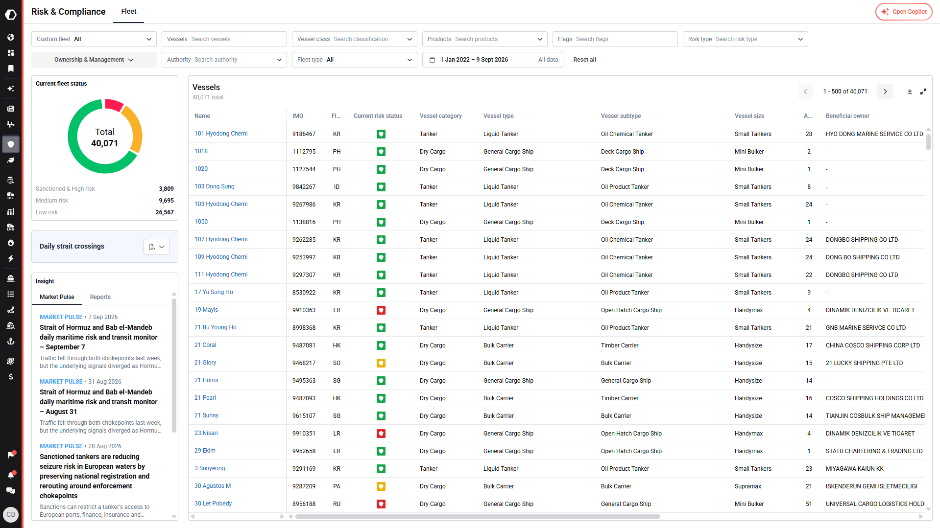
Track sanctioned vessels & cargo
Identify movements of vessels flagged for sanctions or transporting restricted goods, ensuring adherence to international regulations.
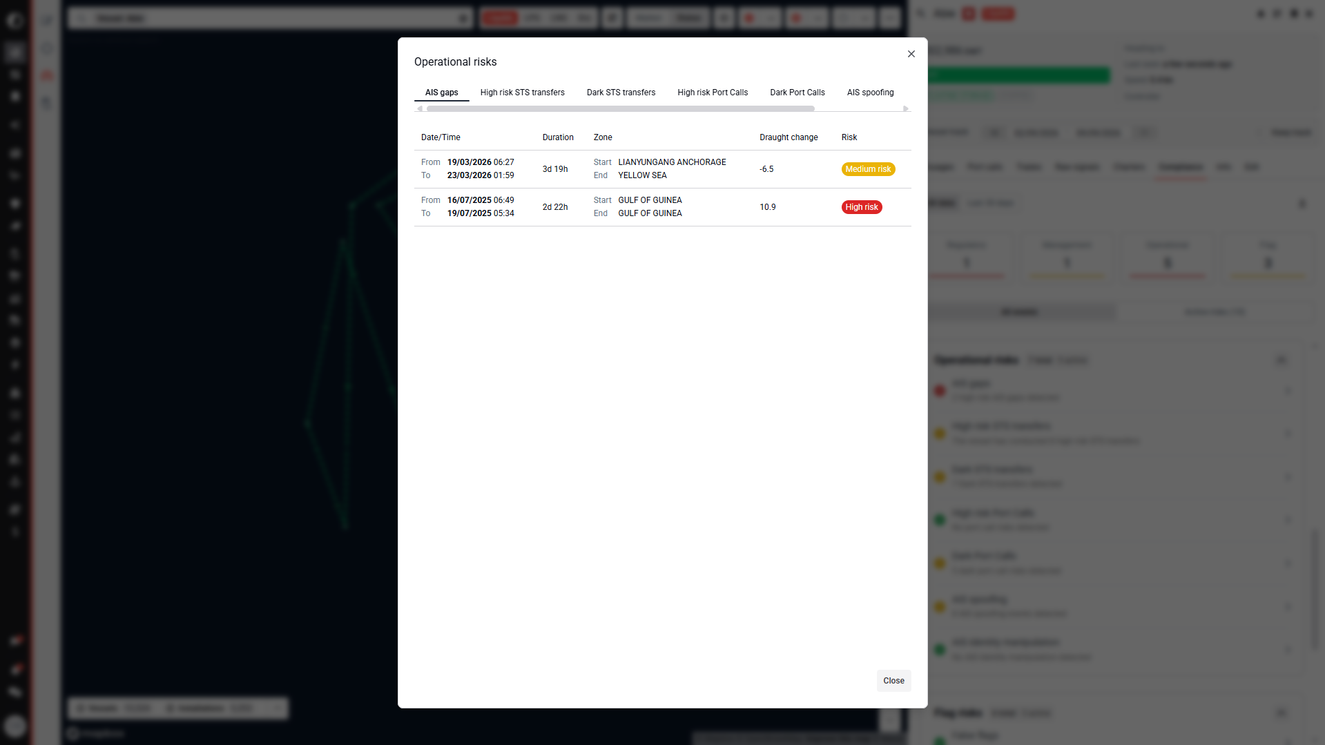
Identify evasion tactics
Detect common evasion methods such as AIS spoofing, ship-to-ship transfers, flag hopping, or dark port calls used to bypass sanctions.
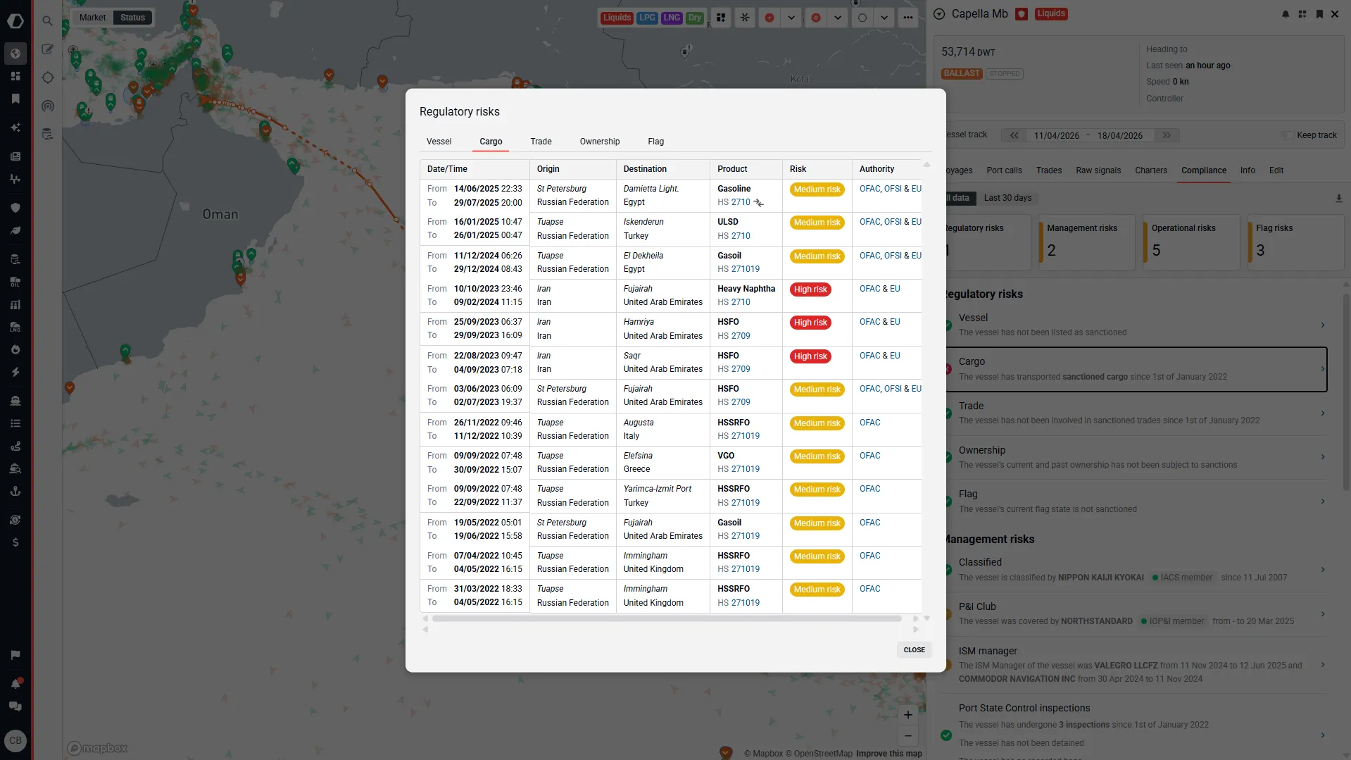
Validate trade documentation
Cross-reference trade and cargo data with real-time maritime movements to ensure consistency and compliance with declared routes and destinations. Fight against the active disinformation practices on BOLs that bad actors and criminal networks employ to obfuscate their illicit activities as well as attempts to hide.
Environmental protection
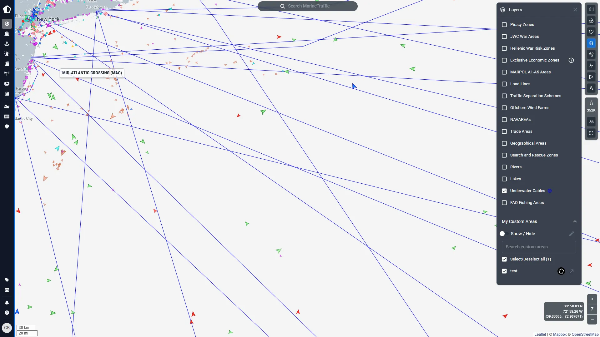
Enforce marine protected areas (MPAs)
Ensure vessels avoid restricted zones and adhere to sustainable practices within environmentally sensitive regions, protecting and conserving marine ecosystems and biodiversity.
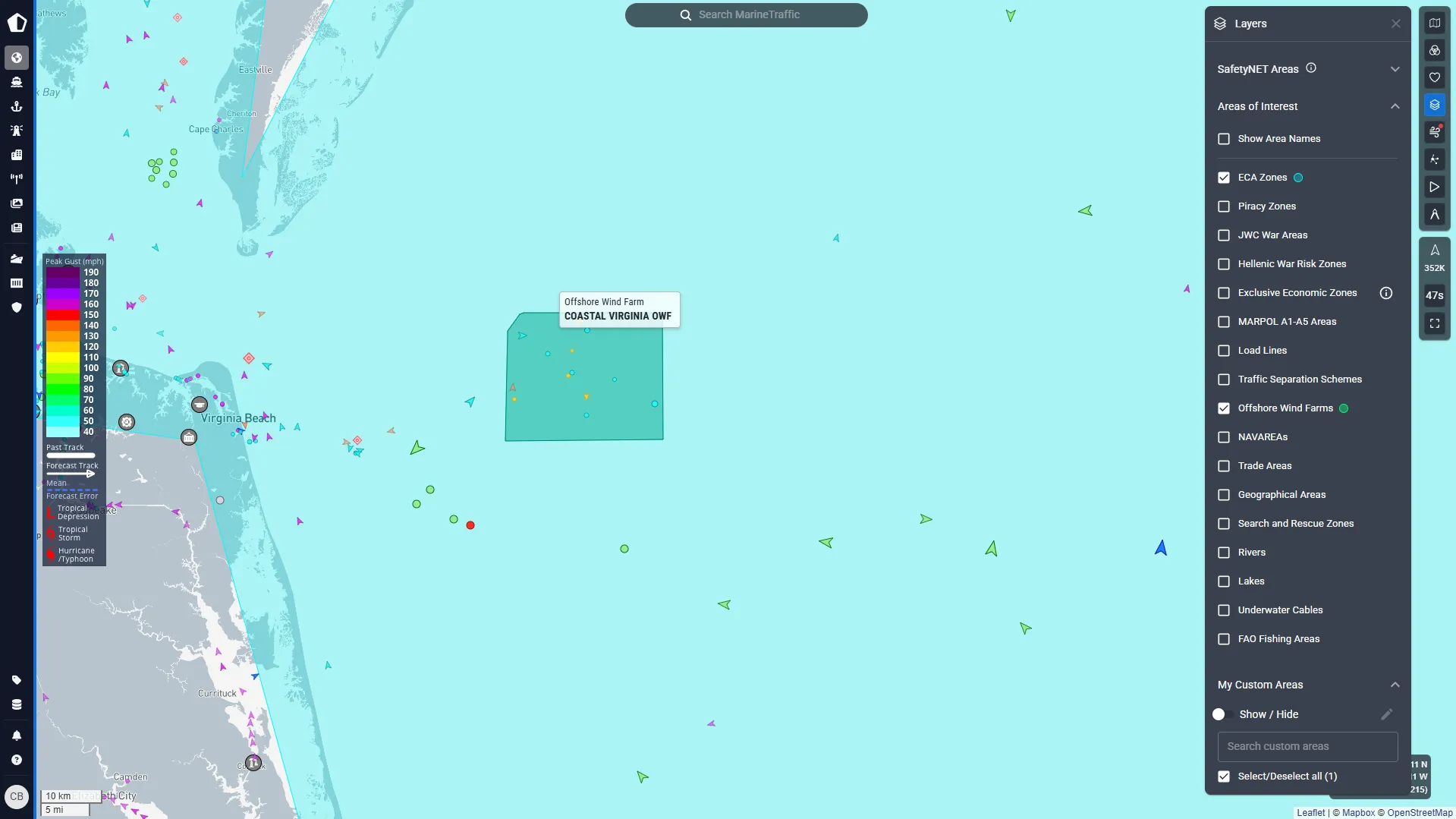
Protect against environmental disasters
Screen vessels for insurance and potential operational risks and minimise the risk of environmental threats in your waters. If events do occur, use real-time vessel tracking to coordinate efficient response efforts during maritime emergencies such as shipwrecks, oil spills or natural disasters.
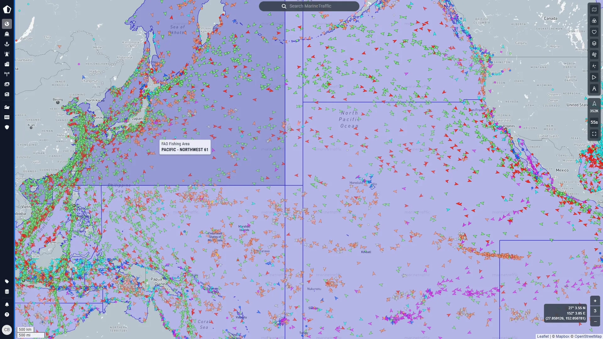
Detect illegal fishing
Identify vessels operating in no-fishing zones or outside permitted areas, ensuring compliance with territorial and conservation laws. Minimise conflict by ensuring accurate and timely detection of these vessels, providing clear and verified location data.
Maritime authority
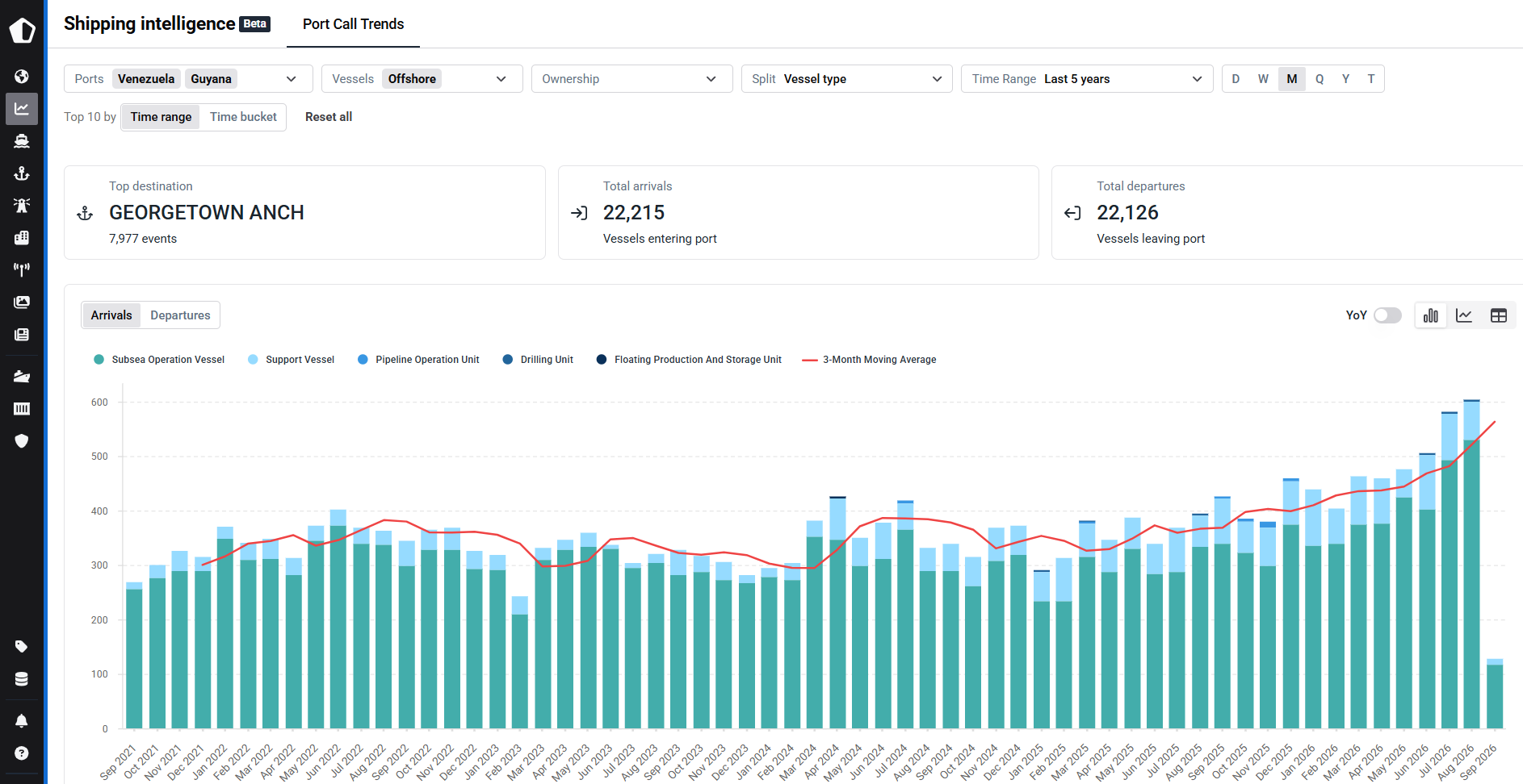
Plan for the future fleet
Changes in the characteristics of vessels calling at national ports provide maritime authorities with an evidence base for infrastructure and policy planning. By tracking arrivals from LNG-ready, methanol-ready, ammonia-ready and dual-fuel vessels over time, teams can see whether alternative-fuel capable fleets are becoming a meaningful part of actual port activity rather than relying solely on vessel orderbooks or individual bunkering announcements.
The analysis can be broken down by vessel type, size, flag and ownership to determine whether adoption is broadening across the fleet or remains concentrated among a small number of operators. Comparing these trends across ports can help authorities understand where demand is developing and provide additional evidence when assessing future bunkering, berth and supporting infrastructure requirements.
Monitor changes in national maritime activity
Long-term port activity provides maritime authorities with a consistent view of how the shipping profile of a country is evolving. Arrivals and departures can be analysed across national ports to identify which locations and vessel segments are experiencing sustained growth or decline and how those patterns compare with previous years.
Breaking activity down by vessel type, size, capacity or flag helps authorities understand the composition behind the headline trend. This can reveal whether changes are concentrated in particular parts of the maritime economy and provide an evidence base for strategic planning, infrastructure prioritisation and wider maritime policy analysis.

Understand foreign fleet presence
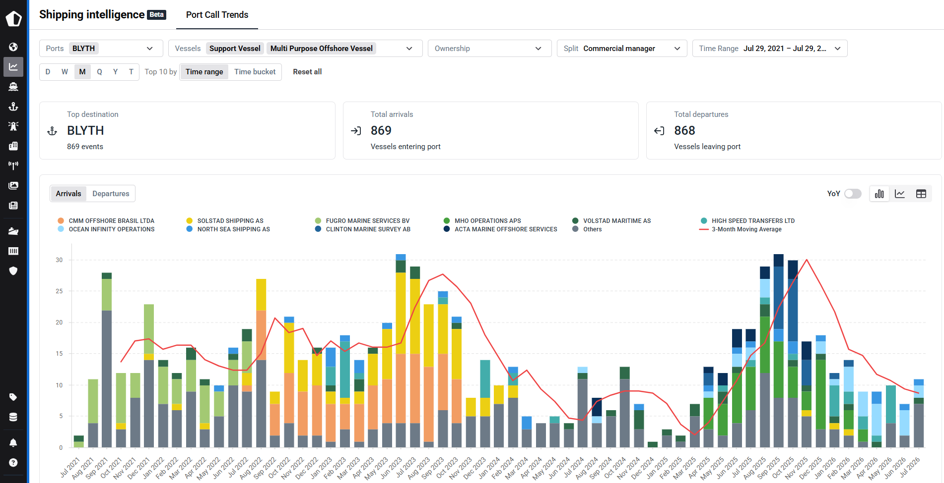
Port calls provide a measurable view of which foreign fleets and shipping companies are active across a country's ports and how that presence changes over time. Maritime authorities can split arrivals and departures by flag, beneficial owner, operator or commercial manager to identify changes in the companies and national fleets participating in their maritime economy.
Historical analysis helps distinguish temporary changes from sustained shifts in fleet presence. Authorities can identify which flags or operators are increasing activity, which vessel segments they represent and where that activity is concentrated, providing additional context for maritime strategy, industry engagement and policy research.
.webp)
FAQ
Kpler helps governments detect, monitor, and assess vessel activity and trade networks in real time to secure borders, enforce maritime law, and counter illicit activity.
Real-time tracking intelligence allows authorities to monitor vessel movements within territorial waters and identify unauthorized or suspicious activities such as illegal fishing, smuggling, or unregistered vessels.
Yes, Kpler can identify movements of vessels flagged for sanctions or transporting restricted goods, helping governments ensure adherence to international regulations.
Kpler detects common evasion methods including AIS spoofing, ship-to-ship transfers, flag hopping, and dark port calls used to bypass sanctions.
Kpler cross-references trade and cargo data with real-time maritime movements to verify consistency with declared routes and destinations, and to counter disinformation on bills of lading used by bad actors to conceal illicit activity.
Kpler enables governments to enforce marine protected area boundaries, detect illegal fishing in restricted zones, and coordinate response efforts during maritime emergencies such as oil spills or shipwrecks using real-time vessel tracking.