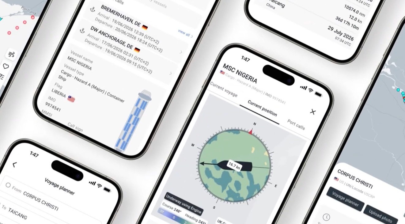
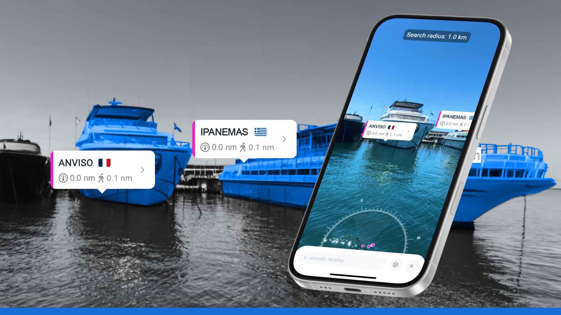
From shorelines to the open oceans: full visibility with AIS vessel tracking
Automatic Identification System (AIS) is at the heart of modern vessel tracking
Originally developed to improve safety at sea, AIS automatically transmits key information such as a vessel’s identity, position, speed, and course. This data is broadcast by ships and captured by a variety of receivers, forming the building blocks of a live picture of maritime activity, one that is strengthened by multiple AIS collection methods.
But while AIS is universal in principle, its effectiveness depends on both how the data is captured and how quickly it reaches systems. Ships crossing from coastal waters into the open ocean often move beyond the reach of Terrestrial AIS receivers, creating coverage gaps that limit visibility. To bridge these gaps, AIS data is gathered through a layered approach, combining Terrestrial, Roaming, and Satellite AIS to deliver truly global coverage.

See why the most successful traders and shipping experts use Kpler
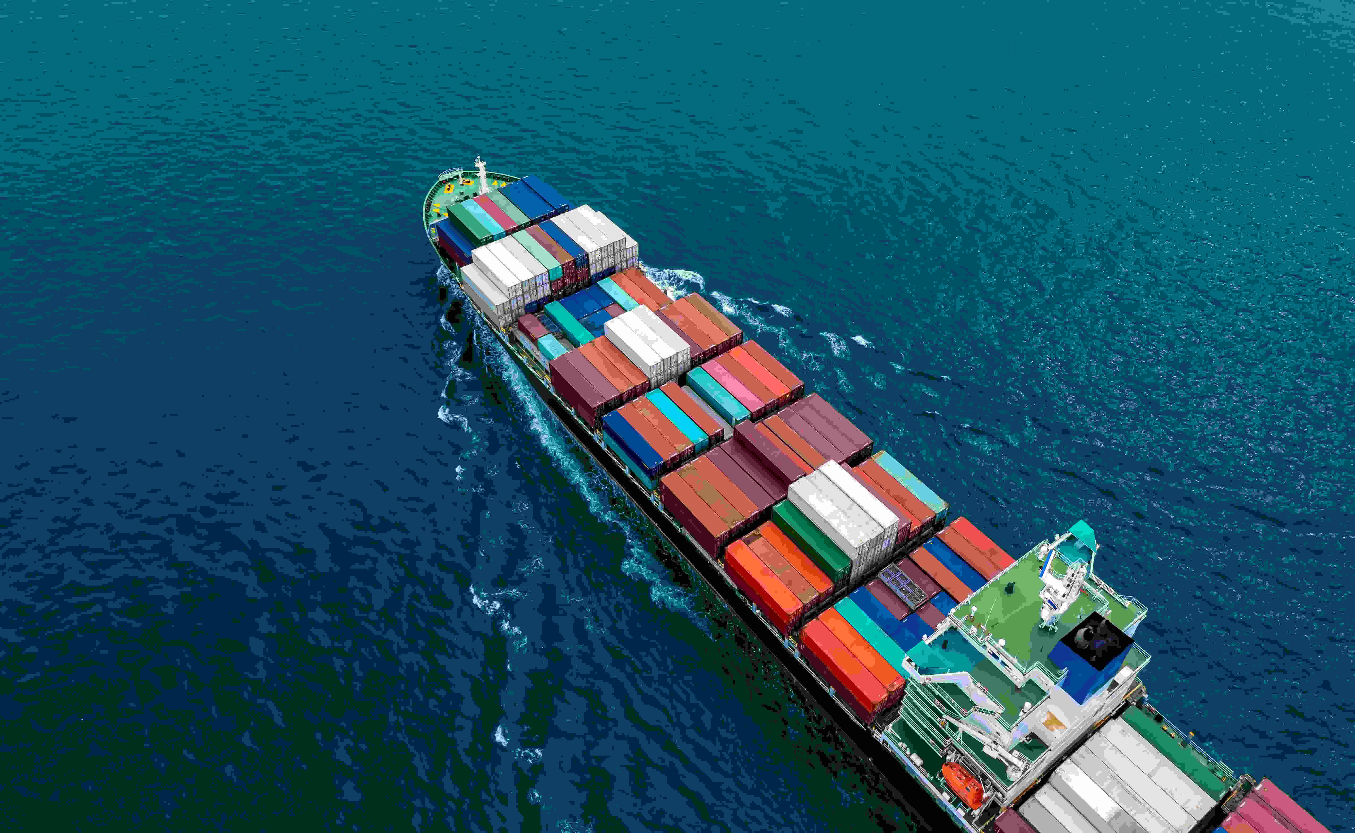
Experience a new standard in vessel tracking with seamless AIS coverage