
From Hormuz to Malacca: the Next Chokepoint Risk
Scarborough Shoal illustrates how China is converting disputed claims into de facto control, and with Hormuz risk still elevated, even a nascent second chokepoint pressure compounds global market exposure.
The Strait of Hormuz remains the world's most critical oil chokepoint, with roughly 20% of global petroleum liquids transiting it daily — but it is no longer the only waterway repricing risk. US sanctions enforcement has tightened its grip on Iranian crude exports in recent weeks, with destroyers intercepting tankers attempting to leave Iranian waters, adding a fresh layer of physical disruption to a route already operating under elevated tension.
Chinese Coast Guard and militia fishing vessels surrounding the disputed Scarborough Shoal

Source: Kpler, MarineTraffic
Scarborough Shoal — known to the Philippines as Bajo de Masinloc and to China as Huangyan Dao — is a 150 km² coral atoll situated 220 km off the coast of Luzon, entirely within the Philippines' 200 nautical mile exclusive economic zone (EEZ). China has maintained de facto control of the feature since a tense standoff in 2012, when Chinese vessels blocked Philippine access to the lagoon and have not left since. A landmark 2016 ruling by the Permanent Court of Arbitration in The Hague found China's sweeping maritime claims in the South China Sea to be incompatible with the UN Convention on the Law of the Sea, and specifically ruled that Beijing's blockade of Scarborough Shoal violated international law by denying Filipino fishermen access to traditional fishing grounds. China has rejected and ignored the ruling entirely.
Tensions escalated sharply through 2024 and into 2025. Repeated water cannon deployments against Philippine coast guard and resupply vessels marked a new threshold of physical confrontation. In August 2025, a Philippine coast guard ship was damaged in a direct collision with a Chinese vessel near the shoal. The following month, China's State Council declared Scarborough Shoal a national nature reserve, designating a 3,523-hectare zone ostensibly for coral reef conservation. Manila condemned the move as "patently illegal" and a "clear pretext for occupation." The designation was widely interpreted as a "lawfare" mechanism — embedding Chinese sovereignty claims within a domestic legal framework that could then be used to justify coast guard enforcement against Philippine vessels. Critics also noted the environmental irony: a 2025 Center for Strategic and International Studies report found that China had destroyed up to 4,648 acres of reef since 2013. The latest development came on April 10–11, 2026, when Chinese authorities installed a 352-meter floating barrier across the shoal's entrance, with satellite imagery confirming the presence of four fishing boats, a naval or coast guard vessel, and ten CCG ships sighted in the area over the preceding week, per Reuters reporting.
The Broader Claim
Scarborough Shoal is one flashpoint within a far wider territorial dispute. China's nine-dash line — a sweeping U-shaped claim encompassing roughly 90% of the South China Sea — overlaps with the exclusive economic zones of five sovereign states: the Philippines, Vietnam, Malaysia, Indonesia, and Brunei. None has accepted it, and the 2016 PCA ruling found it had no basis in international law.
Exclusive economic zones in Southeast Asia, China's Nine-Dash Line, and Chinese vessels in the disputed areas

Source: Kpler, MarineTraffic
Vietnam's disputes with China are the most historically deep-rooted. China seized the Paracel Islands from South Vietnam by force in 1974, and clashes over the Spratly Islands in 1988 killed dozens of Vietnamese sailors. Tensions have continued since, with periodic confrontations over fishing rights and energy exploration in waters Vietnam regards as its own continental shelf.
Malaysia and Brunei have taken a quieter diplomatic approach but face the same structural problem: significant portions of their EEZs, including productive offshore energy blocks, fall within the nine-dash line. Indonesia long maintained it had no overlapping claim with China, but Beijing's insistence that historic fishing rights extend into Indonesian waters around the Natuna Islands forced Jakarta to formally contest the nine-dash line from 2019 onward, deploying warships and renaming the relevant sea area the North Natuna Sea in a pointed assertion of sovereignty.
What the vessel data in this note captures, then, is not simply a China–Philippines confrontation. The 528 Chinese vessels tracked across the South China Sea on April 15 are operating across a zone claimed in whole or in part by all five of those states simultaneously. The militia clusters in the disputed SCS zone — stationary for weeks or months, far from any Chinese port — sit inside waters that Vietnam, Malaysia, and the Philippines each regard as their own. Scarborough Shoal is the most visible and acute pressure point today, but the underlying posture is regional in scope.
Chinese Maritime Presence in Philippine Exclusive Economic Zone (EEZ) & Disputed Waters
MarineTraffic vessel data captured via Kpler on April 15, 2026 puts the scale of China’s maritime presence in stark relief. Across 528 active Chinese-flagged vessels tracked simultaneously in Philippine EEZ waters and the broader disputed South China Sea, the data reveals a layered operational posture that goes well beyond the Scarborough incident.
The Philippine EEZ data is particularly striking. Of the 223 active Chinese vessels present, 10 are Chinese Coast Guard ships — consistent with and extending the Scarborough-specific sighting count reported by the Philippine Navy. More significant is the militia footprint: 18 Hainan-registered fishing vessels, several with idle times up to weeks, indicating semi-permanent stationing rather than active fishing. One vessel, QIONGSANSHAYU00311, had been stationary for over 57 days at the time of the data capture.
The broader disputed SCS zone tells a complementary story. The 305 Chinese vessels tracked there are overwhelmingly fishing-type, with 63 Sansha/militia-linked vessels — the single largest cluster of state-linked maritime militia in the snapshot. Combined across both zones, 245 of 528 Chinese vessels — nearly half — are engaged in slow-steaming or loitering behavior, consistent with deliberate area presence operations rather than commercial transit.
The US–Philippines Mutual Defense Treaty adds a further deterrent layer: any overt Chinese military action against Philippine vessels or territory would risk drawing Washington directly into the confrontation. It is precisely this constraint that makes the grey zone approach so strategically rational — calibrated to stay below the threshold of an 'armed attack' while steadily advancing Chinese control.
Scarborough Shoal sits at the northern entrance to the South China Sea. Every tanker carrying Middle Eastern crude to China, every container ship running Singapore to Shanghai, passes through the same body of water. The dispute is local. The waterway is not.
This is where the Strait of Malacca comes into focus.
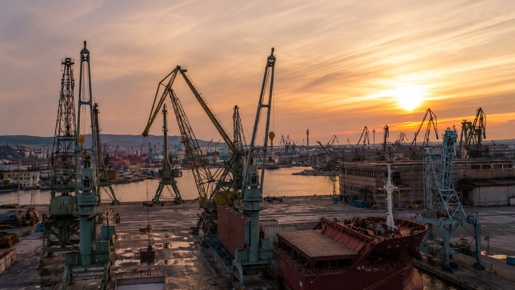
Commercial Traffic Through the Strait of Malacca
The Malacca Strait is the central artery linking Middle East supply to Asian demand, handling roughly a quarter of global trade and a substantial share of seaborne crude and product flows. The table below, drawn from Kpler’s MarineTraffic transit data for the first seven days of February 2026, illustrates the commercial throughput at stake. On an average day, ~440 commercial vessels transit the strait, carrying cargo spanning crude oil, refined products, dry bulk commodities, and containerized goods.
Vessel CategoryAverage per dayDry Bulk75Crude Oil Tankers39Oil Products Tankers95Other Liquids125Containers91LNG Carriers7LPG Carriers7Total Commercial440
Source: Kpler, MarineTraffic
The liquids segment dominates by vessel count, averaging ~259 vessels per day, of which crude oil tankers alone account for around 39 transits daily. This includes an average of ~19 VLCCs per day — the largest of oil tankers that form the backbone of Middle East-to-Asia crude flows. Container ships add another ~91 vessels per day, while LNG and LPG carriers together contribute roughly 14 transits daily, representing time-sensitive cargoes with limited alternative routing options.
Any disruption here would have immediate and systemic consequences for freight, refining margins, and regional energy balances. Alternative routes — the Lombok or Sunda Straits — add days of steaming time and are not suitable for all vessel classes, meaning even a partial or temporary restriction would propagate quickly into spot freight rates and refinery feedstock schedules across East Asia.
Vessels transiting Malacca Strait, as seen on the Kpler terminal

Source: Kpler
Assessment
Regional dynamics are hardening with the newly announced US–Indonesia defense cooperation agreement is the latest signal that Southeast Asia is becoming more explicitly tied into great power competition. Taken together, these developments point toward a region that is not just commercially vital, but increasingly securitized, especially around key maritime routes.
So far, what we are seeing in the South China Sea falls well short of anything resembling a disruption to a major transit artery like Malacca. But the playbook on display — persistent patrols, physical obstruction, incremental restriction of access — raises a more uncomfortable question. If this works in places like Scarborough Shoal, could similar tactics be applied, or simply threatened, in more strategically important waterways?
A direct blockade of Malacca remains highly unlikely in the near term. Unlike Scarborough Shoal, it is bordered by multiple sovereign states and sits at the core of global trade infrastructure. Any attempt to restrict passage would represent a major escalation and would almost certainly trigger a coordinated international response. That said, pressure does not need to take the form of a full blockade to matter. Increased militarization, tighter monitoring of transit, or disruptions in adjacent waters could still elevate risk premia across shipping markets.
In that sense, the relevance of the Scarborough developments — and the fleet density the vessel data reveals — is less about immediate supply disruption and more about trajectory. The threshold for maritime coercion appears to be shifting, gradually but consistently. This aligns with the broader view that the current geopolitical environment is defined less by sudden conflict and more by prolonged, structural competition between major powers. For markets, the risk is not a single shock event, but a steady accumulation of frictions that make critical arteries like Malacca feel less unquestionably secure over time.
For now, flows through Malacca remain uninterrupted. But as chokepoint risk continues to reprice globally — from Hormuz to the Red Sea — the South China Sea is increasingly part of that same conversation. Scarborough Shoal may be a localized dispute, but the tactics being tested there, and the fleet density the data reveals, are anything but local.
This note outlines potential scenarios and is intended for analysis purposes only.

See why the most successful traders and shipping experts use Kpler