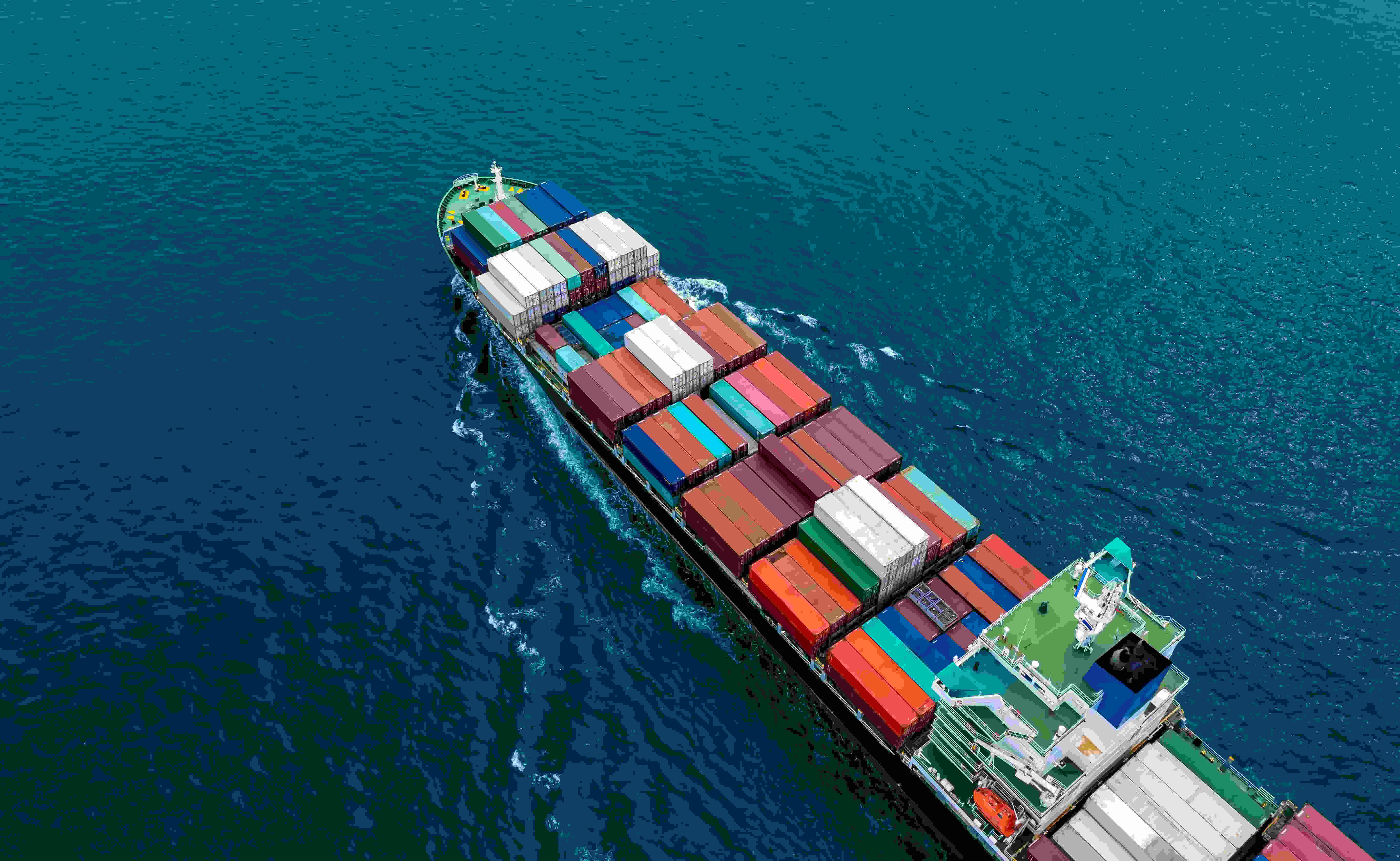
From shorelines to the open oceans: full visibility with AIS vessel tracking
Automatic Identification System (AIS) is at the heart of modern vessel tracking
Originally developed to improve safety at sea, AIS automatically transmits key information such as a vessel’s identity, position, speed, and course. This data is broadcast by ships and captured by a variety of receivers, forming the building blocks of a live picture of maritime activity, one that is strengthened by multiple AIS collection methods.
But while AIS is universal in principle, its effectiveness depends on both how the data is captured and how quickly it reaches systems. Ships crossing from coastal waters into the open ocean often move beyond the reach of Terrestrial AIS receivers, creating coverage gaps that limit visibility. To bridge these gaps, AIS data is gathered through a layered approach, combining Terrestrial, Roaming, and Satellite AIS to deliver truly global coverage.
Supercharging ocean tracking with Satellite AIS
To deliver true global visibility, AIS data needs to go beyond coastal receivers. This is where satellite tracking comes into play. By leveraging the Kpler AIS network, vessels can be monitored across every ocean, no matter how remote. The result is a system that combines worldwide coverage with latency of less than one minute, ensuring live awareness of vessel movements.
Every day, this satellite-enabled system detects over 300K active vessels through 13K receivers. Whether you need to follow all maritime traffic, zoom in on a specific vessel type, monitor an entire fleet, or track individual ships equipped with AIS Class A or Class B transponders, the flexibility is built in.
Satellite AIS doesn’t just provide position updates. It captures static information (such as vessel name and dimensions), positional data (latitude, longitude, course, and speed), and voyage-related details (like destination and estimated arrival). Together, these insights form a complete picture of global shipping activity.
This level of visibility is essential for industries that depend on ocean-going trade. Energy and commodities firms follow tankers on long-haul voyages; insurers rely on precise positioning for emergencies and claims; and logistics operators benefit from accurate ETAs on transoceanic shipments. In each case, global ocean tracking provides the confidence and efficiency that Terrestrial AIS alone cannot deliver.
Kpler now provides full visibility, from shorelines to the open oceans
By bringing together Terrestrial, Roaming, and Satellite AIS, Kpler ensures vessel tracking is continuous across every maritime zone. Each source plays a distinct role, but it’s the combination that unlocks complete global coverage.
- Terrestrial AIS provides the high-density detail needed in ports and coastal waters, where precision matters most for traffic management and port operations. With powerful reach, each ground station covers up to 60 nautical miles, and the network is deployed across 190 countries; it ensures reliable visibility close to shore.
- Roaming AIS extends that view into high-traffic zones such as the South China Sea, the English Channel or the Strait of Hormuz, filling gaps where traditional coastal networks may leave blind spots due to signal collisions.
- Satellite AIS goes beyond the horizon, delivering sub-minute, low-latency, coverage across every ocean, ensuring vessels remain visible even where Terrestrial AIS cannot reach.
When integrated, these layers don’t just overlap, they reinforce one another. The result is a seamless picture of vessel movements, whether a ship is departing a harbour, transiting a crowded shipping lane, or crossing remote waters far from land. This consistency allows businesses and authorities alike to monitor fleets without interruption, plan with greater confidence, and respond faster to unexpected changes.
Supporting the entire maritime ecosystem
AIS data is more than a tool for ship tracking, it’s a resource that supports every corner of the maritime ecosystem. From regulators and governments to traders, ports, and insurers, the ability to see vessel movements as they happen enables safer seas, stronger compliance, and more efficient operations.
What follows are some of the key use cases for low-latency, global vessel tracking, but the impact of AIS extends well beyond these examples.
- Logistics and container tracking - Monitor cargo vessels in transit, estimate arrival times, and identify delays to strengthen supply chain performance.
- Commodity and market intelligence - Track commodity-carrying vessels, analyse shipping trends, and anticipate market fluctuations to inform trading and policy decisions.
- Fleet performance and route optimisation - Improve fuel efficiency, reduce emissions, and plan more cost-effective, sustainable voyages.
- Port authorities - Predict congestion, optimise berths, and streamline vessel turnaround.
- Insurance, sanctions and flag administrations - Ensure compliance with international regulations, monitor insured fleets, and detect potential violations or illicit activity.
- Offshore asset protection - Safeguard critical infrastructure like oil rigs and wind farms by monitoring vessel activity and detecting unauthorised approaches.
- Security and defence - Enhance situational awareness by monitoring vessels entering and leaving national waters, tracking naval deployments, monitoring exercises, and assessing potential threats.
Setting the standard for global maritime tracking
From coastal waters to the open oceans, uninterrupted visibility is a core requirement for modern shipping. By combining Terrestrial, Roaming, and Satellite AIS, Kpler delivers a seamless view of global maritime activity, ensuring complete coverage, timely insights, and reliable tracking everywhere vessels operate. As maritime activity grows in scale and complexity, Kpler provides the ecosystem with the foundation it needs: full visibility, from shorelines to the open oceans.
Ready to learn more? Schedule a demo and see how Kpler AIS can transform the way you track vessels.

See why the most successful traders and shipping experts use Kpler
Experience a new standard in vessel tracking with seamless AIS coverage