Monitor and analyse the global fleet and its movements, built on leading maritime intelligence from MarineTraffic.


.webp)



1.2bn+
350k+
13.5k+
<30 sec
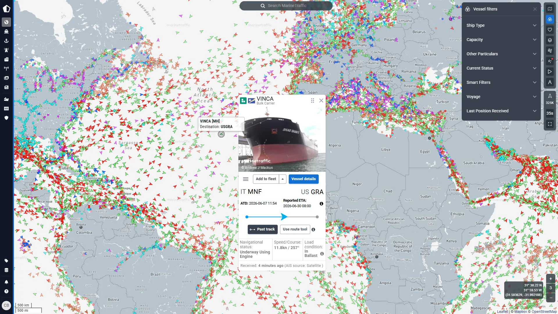
- Live vessel tracking on an interactive map — position, speed, course, heading, ETA, and navigational status monitored as they happen
- Full voyage data including origin and destination ports, reported and calculated ETA, departure time, distance travelled, and idle time — a complete picture of voyage progress
- Route forecasts and waypoint ETAs to anticipate arrivals and plan port-call and downstream logistics decisions earlier
- Historical positions and port-call history to review past movements, compare behaviour over time, and understand operational context
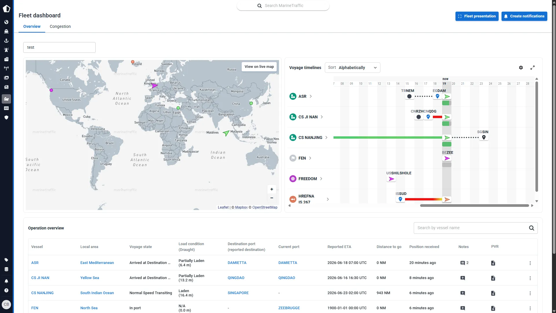
- Track up to 5,000 vessels per fleet — monitoring large owned, operated, chartered, or watched vessel groups without searching vessel by vessel
- Group vessels into operational fleet views separating owned fleets, chartered vessels, customer fleets, competitor vessels, and watchlists
- Custom fleet dashboards to review current vessel status, fleet activity, and voyage progress from one focused view — no manual checks required
- Presentation mode for control rooms, offices, and management teams to follow live fleet movements from a shared screen
- Noon and midnight position reports to stay updated on vessel location and status at regular intervals
- Speed, course alteration, and stoppage alerts to identify unexpected behaviour, route changes, or delays as they happen
- Draught, destination, and ETA change monitoring so commercial, operational, and logistics teams can adjust plans when voyage information changes
- Vessel-to-vessel proximity alerts to identify close encounters, possible STS activity, or situations requiring further review
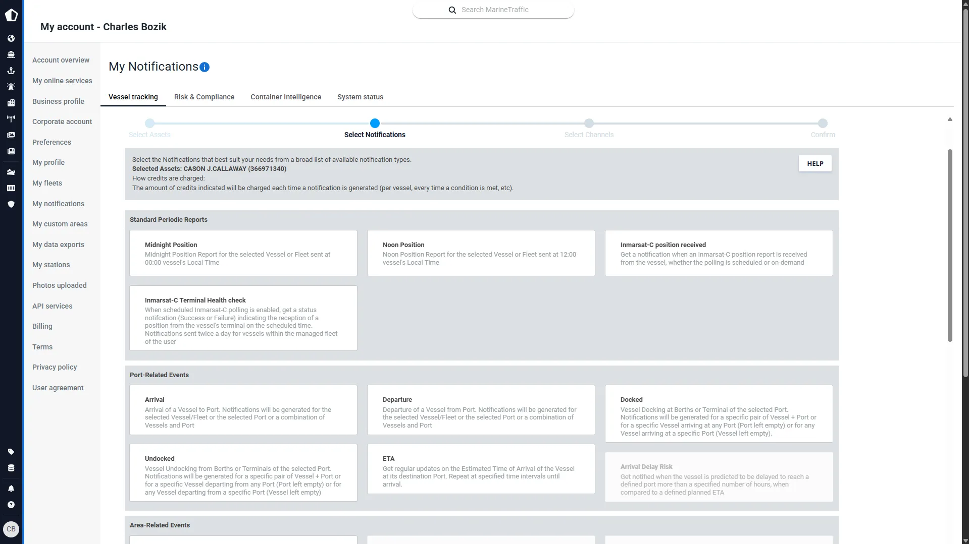
- AIS-reported changes across status, ETA, destination, course, draught, name, flag, and timezone — a structured record of when key vessel information changed
- Port and berth events including arrivals, departures, docking, and undocking — understanding port-call and terminal activity in full context
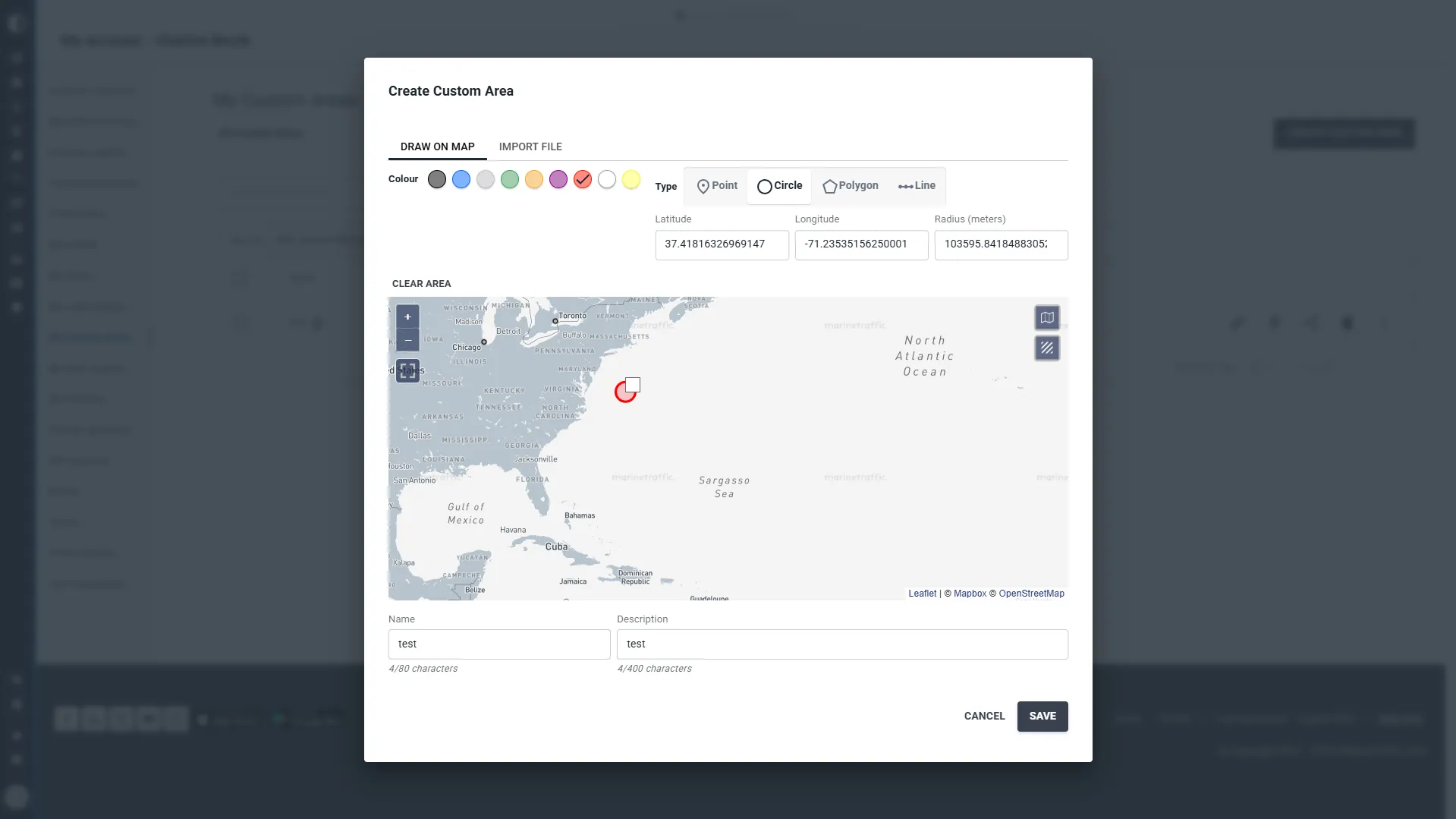
- Area-based events spanning ECAs, piracy zones, straits, standard geographic areas, custom areas, and custom lines
- Behaviour-based events including vessel proximity, pilot events, tug operations, and noon and midnight positions — investigating activity between standard voyage milestones
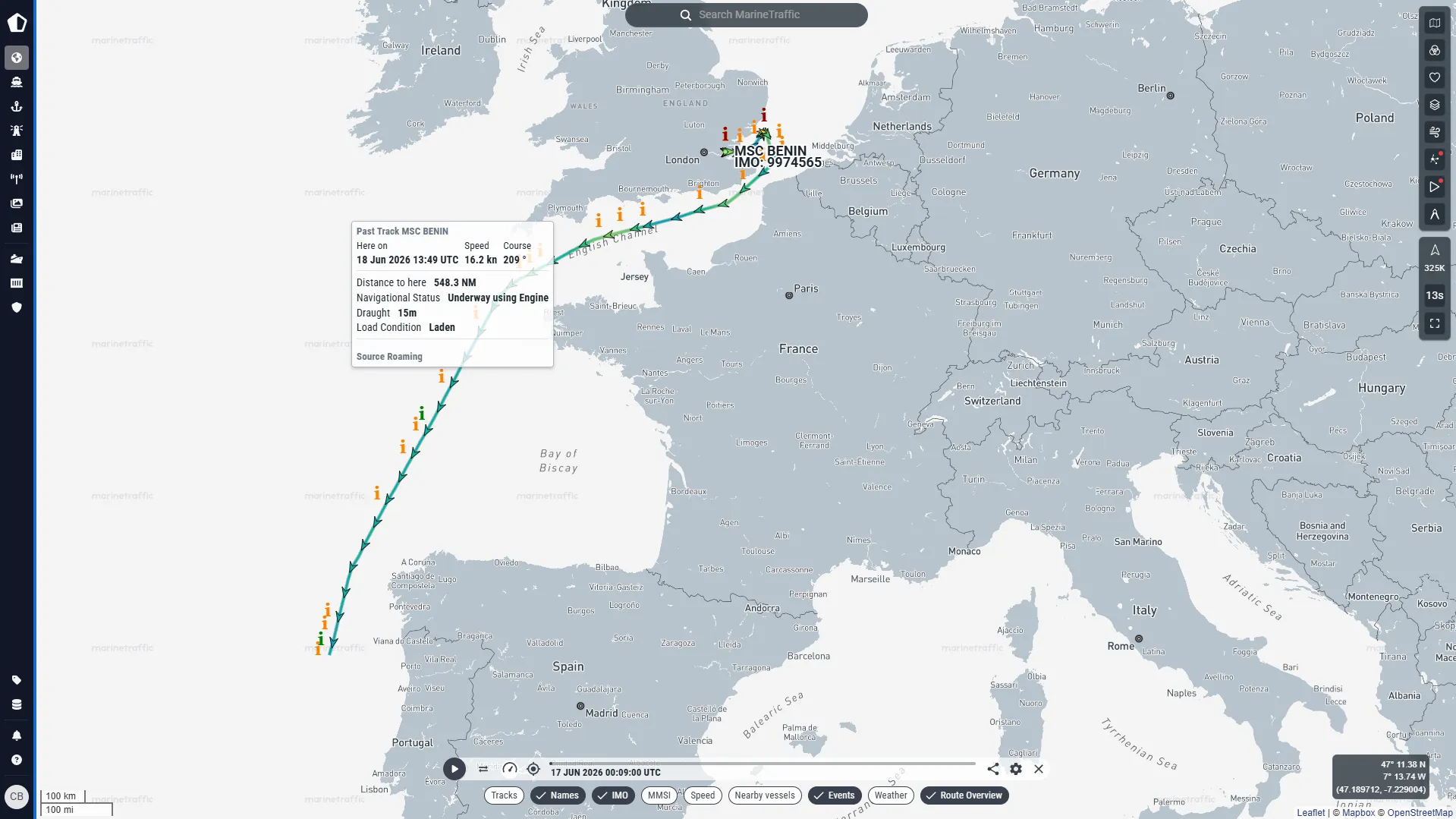
- Replay up to 5 years of vessel movements — analysing past voyages, incident timelines, route behaviour, and historical movement patterns
- Playback navigation controls to pause, speed up, reverse, or drag the timeline to a specific moment for precise review
- View nearby vessels during playback to understand the wider maritime context around a vessel, fleet, or area of interest
- Support incident, claims, and dispute review with a consistent way to reconstruct vessel activity beyond static screenshots or manual explanations
- Validate vessel characteristics including IMO, gross tonnage, type, class, dimensions, and min/max draught — confirming operational suitability before making commercial or logistics decisions
- Access capacity details including GT, DWT, TEU, and CBM alongside build year, shipyard, and first received AIS position for deeper vessel assessment
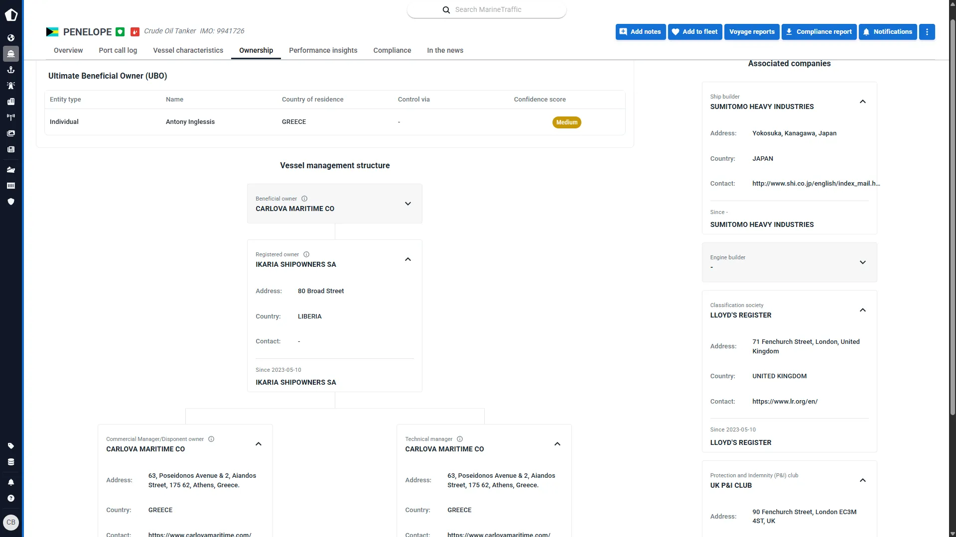
- Review registered owner, beneficial owner, commercial manager, and technical manager information — understanding every layer of vessel control and responsibility
- Combine ownership with movement history and vessel events to support due diligence, underwriting, chartering, and risk review from a complete vessel profile

“It supports a more responsive insurance model, and gives us meaningful visibility in situations where speed and clarity really matter.”

“Working with Kpler allows us to provide better products, reduce emissions, and help customers optimise their operations.”

“It allows our team to focus on more meaningful, strategic work rather than repetitive administrative tasks.”

“We have managed to streamline the way we work, and MarineTraffic has definitely supported that.”
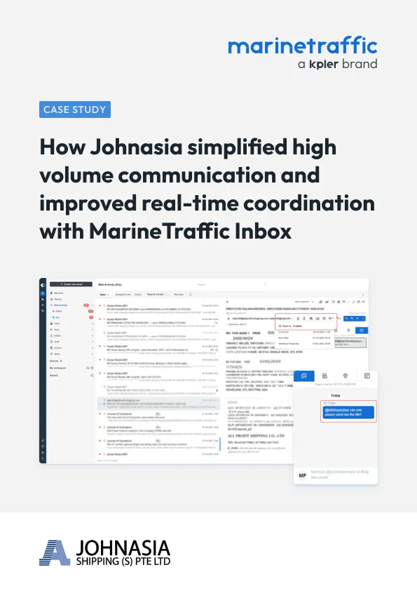
Explore our case studies for maritime markets


FAQ
Vessel intelligence is the combination of real-time tracking, voyage data, and ownership records used to monitor and analyse ships and fleet activity. It draws on AIS position reporting, port and vessel events, and registry data to build a complete profile of a vessel's movements, characteristics, and control.
Kpler tracks 350,000+ vessels globally, processing over 1.2 billion AIS messages a day from a network of 13,500+ receivers, with average latency under 30 seconds.
Yes. Fleet monitoring lets you track up to 5,000 vessels per group, split into owned, chartered, customer, competitor, or watchlist views, with custom dashboards and a presentation mode for shared screens.
Each vessel profile includes IMO number, tonnage, dimensions, and draught, along with capacity details (DWT, TEU, CBM), build year and shipyard, and registered owner, beneficial owner, and commercial/technical manager information.
Yes. Playback lets you replay up to 5 years of vessel movements with full navigation controls, useful for reviewing past voyages, investigating incidents, or reconstructing activity for claims and disputes.